メインコンテンツに移動
日本語
English
Toggle navigation
Main navigation
コレクション
検索
お知らせ
サイトについて
京都大学図書館機構
検索
27161 - 27200 of 27456
検索
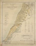
大日本帝國羽前全國羽後國飽海郡土性圖 = Agronomic map of Uzen-province and Akumi district of Ugo-province
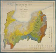
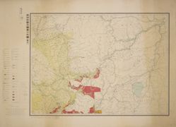
大日本帝國越中國土性圖.
大日本帝国油田地質及地形図 : 第1区 : 越後国東山油田
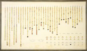
大日本帝国油田地質及地形図第一區附屬斷面圖.
大日本帝國油田第九區地質及地形圖 : 越後國寺泊油田 = Geological and topographical map of the oil fields of Japan, section IX : Teradomari oil field, Echigo
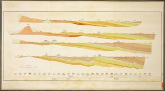
大日本帝国油田地質及地形図 : 第5区 含油凝灰岩(しろ屑)ノ高距線図(北野・岩神・原油田)
日本帝国鉱産図
天塩國留萠炭田及油田地質圖.
常磐炭田第一區磐城國石城郡湯本村附近地質説明書 : 附図 (第2軸)
常磐炭田第一區磐城國石城郡湯本村附近地質説明書 : 附図 (第3軸)
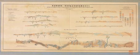
日本本島横断面.
徳山 = Tokuyama
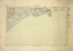
銚子 = Chōshi
設楽 = Shidara
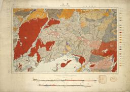
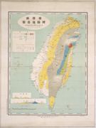
臺灣嶋地質鑛産圖
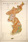
朝鮮地質総圖 = General geological map of Chosen (Korea)
済州島地質図 = Geological Map of Saishuto.
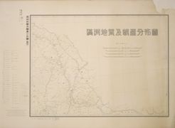
満州地質及鑛産分布圖 : 1
満州地質及鑛産分布圖 : 2
満州地質及鑛産分布圖 : 3
満州地質及鑛産分布圖 : 4
満州地質及鑛産分布圖 : 5
満州地質及鑛産分布圖 : 6
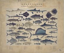
日本重要水産動植物圖 = The Principal Aquatic Aanimals and Plants of Japan. : 第1圖
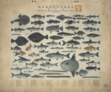
日本重要水産動植物圖 = The Principal Aquatic Aanimals and Plants of Japan. : 第2圖
日本重要水産動植物圖 = The Principal Aquatic Aanimals and Plants of Japan. : 第3圖
日本重要水産動植物圖 = The Principal Aquatic Aanimals and Plants of Japan. : 第4圖
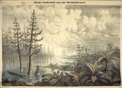
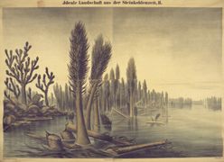
Ideale Landschaft aus der Steinkohlenzeit. : [1]
Ideale Landschaft aus der Steinkohlenzeit. : 2
Ideale Landschaft aus der Jurazeit.
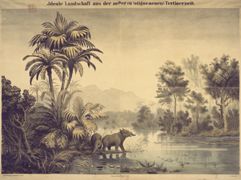
Ideale Landschaft aus der aelteren (oligocaenen) Tertiaerzeit.
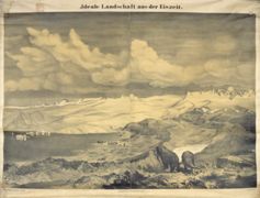
Ideale Landschaft aus der Eiszeit
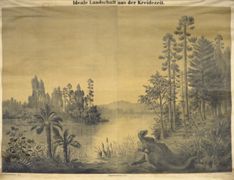
Ideale Landschaft aus der Kreidezeit.
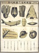
地質學掛図 ; 第2図 : 泥盆紀化石
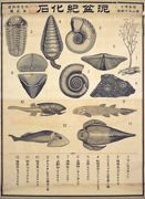
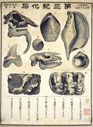
地質學掛図 ; 第4図 : 石炭紀及二畳紀化石
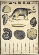
地質學掛図 ; 第7図 : 白亜紀化石
地質學掛図 ; 第8図 : 第三紀化石
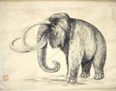
マンモス図.
Hölzel's geographische Charakterbilder : kleine Handausgabe
[地形12枚の内]. : [1]: 多数の温泉の噴煙, 左手: 段丘, 真中: 川
ページ送り
先頭ページ
« first
前ページ
‹‹
…
ページ
676
ページ
677
ページ
678
ページ
679
カレントページ
680
ページ
681
ページ
682
ページ
683
ページ
684
…
次ページ
››
最終ページ
last »