メインコンテンツに移動
日本語
English
Toggle navigation
Main navigation
コレクション
検索
お知らせ
サイトについて
京都大学図書館機構
検索
241 - 280 of 409
検索
日本本州南岸自東京海湾至和泉海.
日本北州西岸後志小樽港 = Japan Hokusyū, west coast, Shiribeshi, Otaru Kō
御祖廟神代系図
御歴代山陵真影.
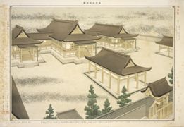
宮中三殿並三大祭典御圖 : [1]
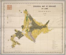
北海道地貭略圖
Geological map of Hokkaido = 北海道地質圖
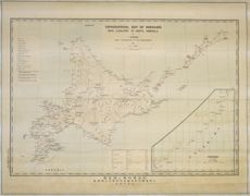
北海道地勢及鑛産圖 = Topographical map of Hokkaido with localities of useful minerals
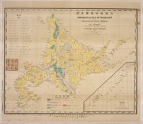
北海道地質鑛産圖.
大日本帝國豫察中部地質圖
大日本帝國豫察西南部地質圖.
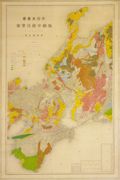
大日本帝國日向國土性圖 = Agronomic map of Hyūga-province
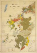
大日本帝國美作備前備中土性圖 = Agronomic map of Mimasaka Bizen and Bitchū provinces
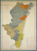
大日本帝國羽前全國羽後國飽海郡土性圖 = Agronomic map of Uzen-province and Akumi district of Ugo-province
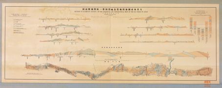
大日本帝国油田地質及地形図第一區附屬斷面圖.
大日本帝國油田第九區地質及地形圖 : 越後國寺泊油田 = Geological and topographical map of the oil fields of Japan, section IX : Teradomari oil field, Echigo
日本帝国鉱産図
徳山 = Tokuyama
銚子 = Chōshi
設楽 = Shidara
臺灣嶋地質鑛産圖
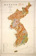
朝鮮地質総圖 = General geological map of Chosen (Korea)
済州島地質図 = Geological Map of Saishuto.
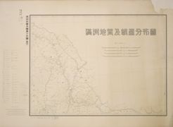
満州地質及鑛産分布圖 : 1
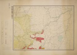
満州地質及鑛産分布圖 : 2
満州地質及鑛産分布圖 : 3
満州地質及鑛産分布圖 : 4
満州地質及鑛産分布圖 : 5
満州地質及鑛産分布圖 : 6
[海盆].
暗射地球全圖.
Carte generale de l'Oceanie
Carte générale de l'Afrique, d'après les dernières découvertes
Carte Physique & Politique. : No. 16 : l'Asie
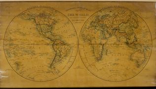
The world on a globular projection
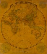
The Eastern Hemisphere.
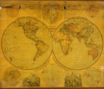
National school board series : No. 1 : W & E Hemisphere
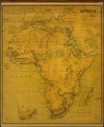
National school board serie: No. 2 : Africa
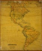
National school board serie : No. 3 : America
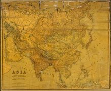
National school board series : No. 4 : Asia
ページ送り
先頭ページ
« first
前ページ
‹‹
…
ページ
3
ページ
4
ページ
5
ページ
6
カレントページ
7
ページ
8
ページ
9
ページ
10
ページ
11
次ページ
››
最終ページ
last »