Skip to main content
日本語
English
Toggle navigation
Main navigation
collection
search
news
about
library
search
27001 - 27040 of 27456
Search
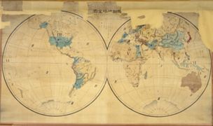
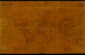
暗射地球全圖.
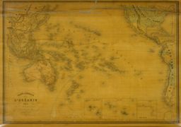
Carte generale de l'Oceanie
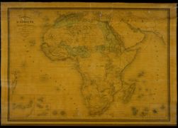
Carte générale de l'Afrique, d'après les dernières découvertes
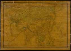
Carte Physique & Politique. : No. 16 : l'Asie
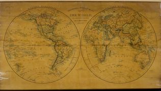
The world on a globular projection
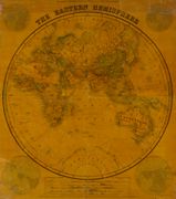
The Eastern Hemisphere.
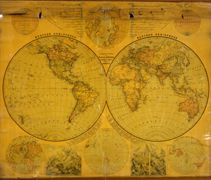
National school board series : No. 1 : W & E Hemisphere
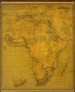
National school board serie: No. 2 : Africa
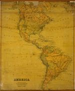
National school board serie : No. 3 : America
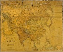
National school board series : No. 4 : Asia
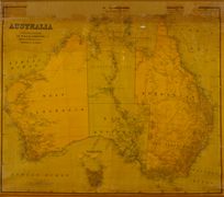
Australia, Constructed & Engraved.
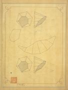
図画範本: [7] : 平面による六角錐の切断と展開
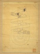
図画範本: [8] : 螺旋曲線
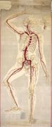
動脉一覧圖
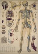
Der Mensch : Wandtafel für den Schulunterricht
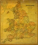
National school board series : No. 6 : England
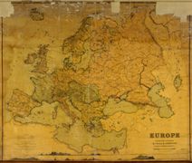
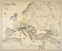
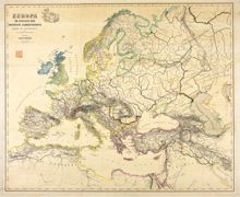
National school board series : No. 7 : Europa
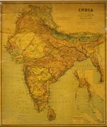
National school board serie : No. 8 : India
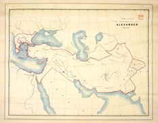
Dominions and Dependencies of Alexander C.B.C. 323.
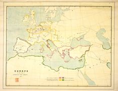
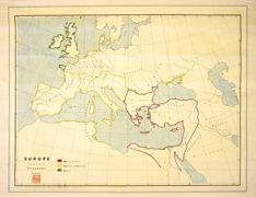
Europe showing the general direction of the Barbarian inroads on the fall of the Roman Empire.
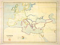
Europe in the time of Charles the great 814.
Europe in the reign of Theodoric. C.A.C. 500.
Europa : end of 7th century. 695.
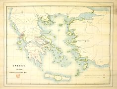
Greece in the fifth century B.C.
[ホメロス時代のギリシアと隣接諸国].
Italy before the growth of the Roman Power.
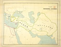
Kingdoms of the succesors of Alexander C.B.C. 300 : dominions of Ptolemy.
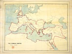
[ローマ帝国道州図].
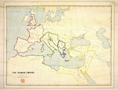
The Romon Empire under Trajan A.D.117.
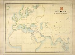
The world as known to the ancients.
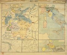
[ブッツゲル歴史地図1815-1866].
[羅馬統一歴史地図].
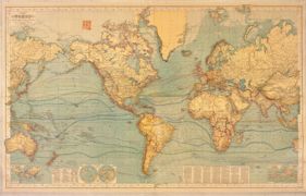
Chart of the world on Mercators projection
Hermann Berghaus : Chart of the world on Mercators projection
Europa um 350 nach Christo
Europa im Anfange des sechsten Jahrhunderts
Europa zur Zeit der Kreuzzüge
Europa in der zweiten Hälfte des zehnten Jahrhunderts
Europa zur Zeit Karls des Grossen
Europa am Ende des vierzehnten Jahrhunderts
Pagination
First page
« first
Previous page
‹‹
…
Page
672
Page
673
Page
674
Page
675
Current page
676
Page
677
Page
678
Page
679
Page
680
…
Next page
››
Last page
last »