Skip to main content
日本語
English
Toggle navigation
Main navigation
collection
search
news
about
library
search
81 - 120 of 409
Search
伊賀国[東海道図]
伊勢国[東海道図]
志摩国[東海道図]
尾張国[東海道図]
三河国[東海道図]
遠江国[東海道図]
駿河国[東海道図]
甲斐国[東海道図]
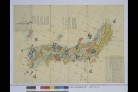
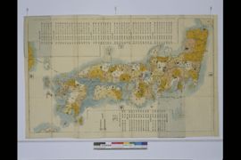
日本国中図
對州全圖
壹岐
四國淡州六分下図
九州六箇国之沿海図
坤輿萬國全圖
司馬江漢銅版画 [亜米利加全図]
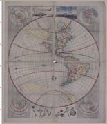
司馬江漢銅版画 地球全図
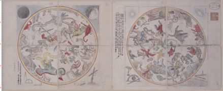
司馬江漢銅版画 天球図
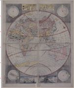
(新訂)坤輿略全図
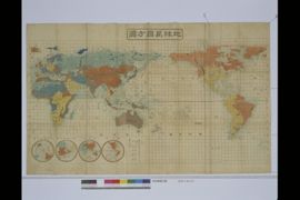
地球万国方図
(洛西)桂御別荘明細図
[金澤ヨリ伊勢大和廻リ之図 高野和歌浦須磨明石播州名所 京都へ東西近江路之図]
(懐宝銅鐫)畿内近州掌覧図
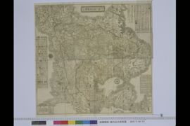
大日本国沿海略図
大日本道中細見記
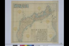
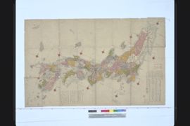
[日本国全図]
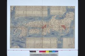
(新刻)日本與地路程全図
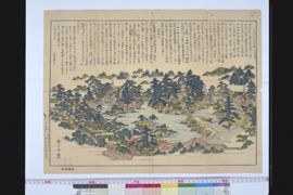
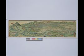
京都一覧図畫
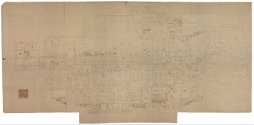
寛永後萬治前洛中絵図
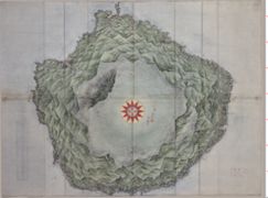
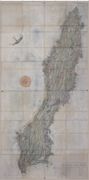
大隅国馭謨郡屋久嶋沿海全圖
大隅國熊毛郡種子嶋沿海圖
肥前国松浦郡平戸領
肥前五島之上(五島上)
肥前五島之二(五島下)
日本輿地路程図
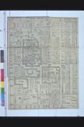
二条御城廻図
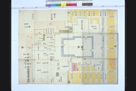
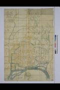
内裏図
都記
日本国備図
伏見の図
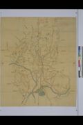
山城国駅路図全
Pagination
First page
« first
Previous page
‹‹
Page
1
Page
2
Current page
3
Page
4
Page
5
Page
6
Page
7
Page
8
Page
9
…
Next page
››
Last page
last »