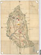
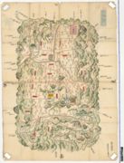
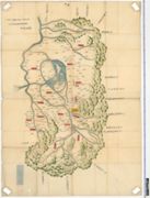
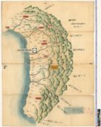
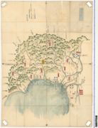
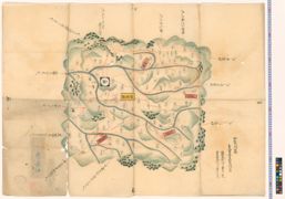
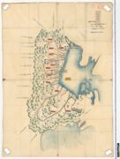
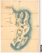
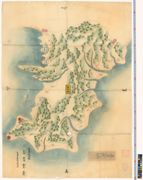
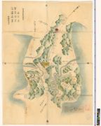
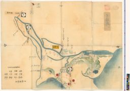
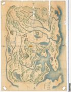
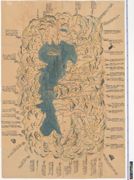
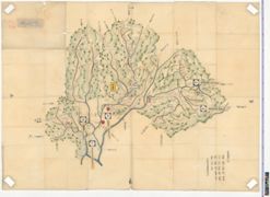
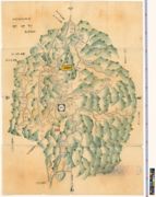
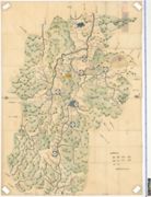
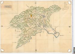
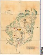
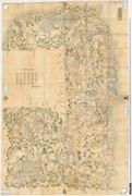
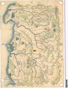
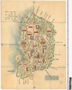
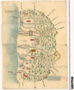
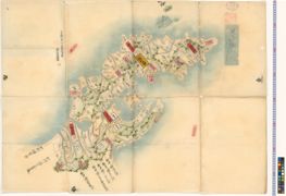
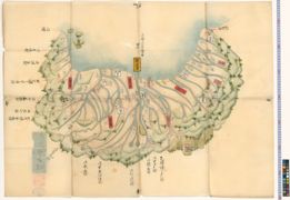
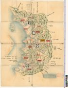
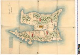
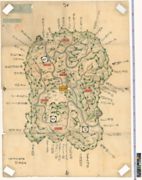
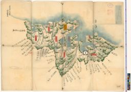
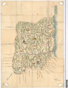
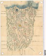
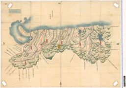
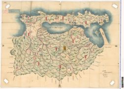
Antique maps were created based on the geographical information available at the time of their creation. This geographical information, however, was not always fact and sometimes included inaccuracies, misunderstanding or mistakes. In particular, in the old days when only little information was available, the appearance of maps inevitably depended on the sources of information and the recognition of the creators and the users.
Antique maps represent not just the geographical information at the time, but the result of digesting the information into the worldview. Looking at maps reflecting the worldview at the time of their creation in chronological order reveals how people have come to know the world as it is based on the fact.
1 - 40 of 135