Skip to main content
日本語
English
Toggle navigation
Main navigation
collection
search
news
about
library
Ⅳ Western history & geography / World maps
Home
collection
Modern Educational Wallcharts
Ⅳ Western history & geography / World maps
More Information
Modern Educational Wallcharts: List in order of subcollection and catalogue number
Items in this category
41 - 50 of 50
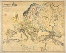
Europa zur Zeit des 30 jährigen Krieges und bis 1700
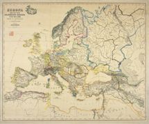
Europa im achtzehnten Jahrhundert, von 1700 bis 1789
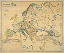
Europa im Zeitalter Napoleons, 1789 bis 1815
地理教授暗射代用世界新地図
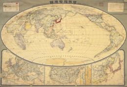
世界現勢地図
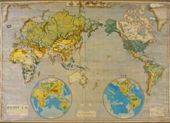
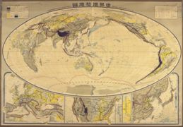
世界地勢地図
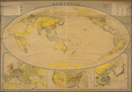
世界産業交通地圖
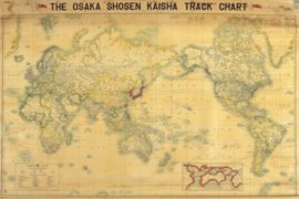
[大阪商船会社航路図].
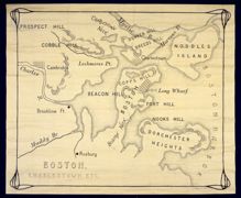
ボストン, チャールスタウン地図
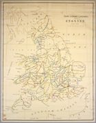
[英国文学地図].
Pagination
First page
« 最初
Previous page
‹ 前
Page
1
Current page
2