Skip to main content
日本語
English
Toggle navigation
Main navigation
collection
search
news
about
library
search
11041 - 11080 of 27621
Search
痘疹結要 3巻
痘疹緒言
痘疹諸論
痘疹唇舌秘訣 2巻
痘疹治験録
痘疹治術伝
痘疹治術伝
痘疹治術伝
痘疹治方録 2巻のみ(地のみ)
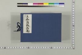
痘疹手引草 2巻
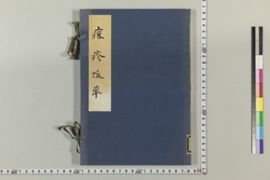
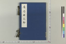
痘疹抜萃
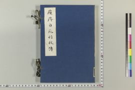
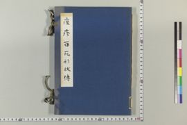
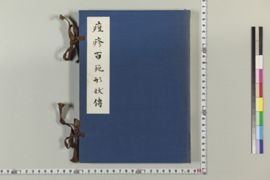
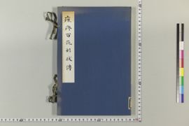
痘疹百死形状伝
痘疹百死形状伝
痘疹百死形状伝
痘疹百死形状伝
痘疹弁義
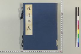
痘疹弁疑抄
痘疹方選
銅人輸穴図
痘疹要訣 3巻
痘疹要薬方 2巻
痘疹要薬方 2巻
痘疹要薬方 2巻
痘疹論
痘診論
東郭先生導水瑣言
導水瑣言
導水瑣言
導水瑣言
導水瑣言
導水瑣言
導水瑣言
冬青亭雑録 2巻のみ
(和方)凍青堂家言
(和方)凍青堂家言
(和方)凍青堂家言
当壮菴家方口解 2巻
痘瘡医筌
痘瘡医療筌
痘瘡活人書 2巻
Pagination
First page
« first
Previous page
‹‹
…
Page
273
Page
274
Page
275
Page
276
Current page
277
Page
278
Page
279
Page
280
Page
281
…
Next page
››
Last page
last »